PROJECTS
Lulu Creek Gold Project
Geology & Mineralisation
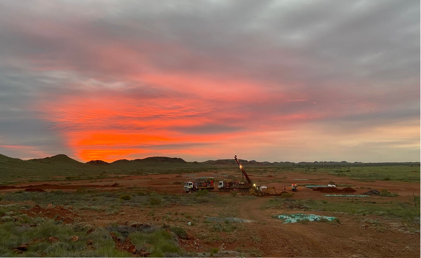
Lulu Creek lies 20 km to the west of Artemis’s Carlow Castle deposit (Figure 1) and forms part of the prospective Greater Carlow area. The prospect was initially identified in 2018 via a regional soils and rock chip program defining an area of interest over 4 km in an east-northeast orientation. Subsequent mapping and rock chip sampling identified gold associated with quartz veins and gossanous outcrops, which were subsequently drilled in 2020. The drill program was technically successful identifying numerous shallow low-grade zones of gold mineralisation associated with disseminated sulphides and quartz veins within a 2 km east-northeast trending quartz diorite intrusion (Figure 2). Drilling to date has been shallow, with an average hole depth of 2 m and a maximum of 50 m.
Significant intercepts from the drill program included:
- 12 m at 0.42 g/t Au from 24 m, including 2 m at 1.62 g/t Au from 34 m within drill hole CWRC006.
- 8 m at 0.4 g/t Au from 42 m within drill hole CWRC005 (terminated in mineralisation).
- 1 m @ 4.89 g/t gold and 13.7 g/t silver from 24 m in CWRC011
- 1 m @ 1.15 g/t gold from 9 m in CWRC017
An Exploration review by the company has identified Lulu Creek as being a potential Intrusion Related Gold System (IRGS) with significant mineralisation potential. Coincidently, work completed by the GSWA identified the presence of ‘Sanukitoid like’ intrusive bodies around the Karratha (granitoid) Dome 2.5 km north-west of the Lulu Creek intrusion, which indicates mantle fluid pathways in the area.
A 15-line dipole-diploe Induced Polarisation (IP) survey completed in July 2023 identified two chargeability anomalies within the Lulu Creek intrusion, adjacent to a moderate-high resistive body interpreted as representing significant alteration and veining (Figures 3 and 4). A third IP chargeability anomaly was identified just off the intrusion along the Regal Thrust, which corresponds with outcropping gossanous BIF and ultramafic rocks at surface.
Preparations are currently underway to finalise heritage surveys in order to drill test the chargeability and resistivity anomalies.


